
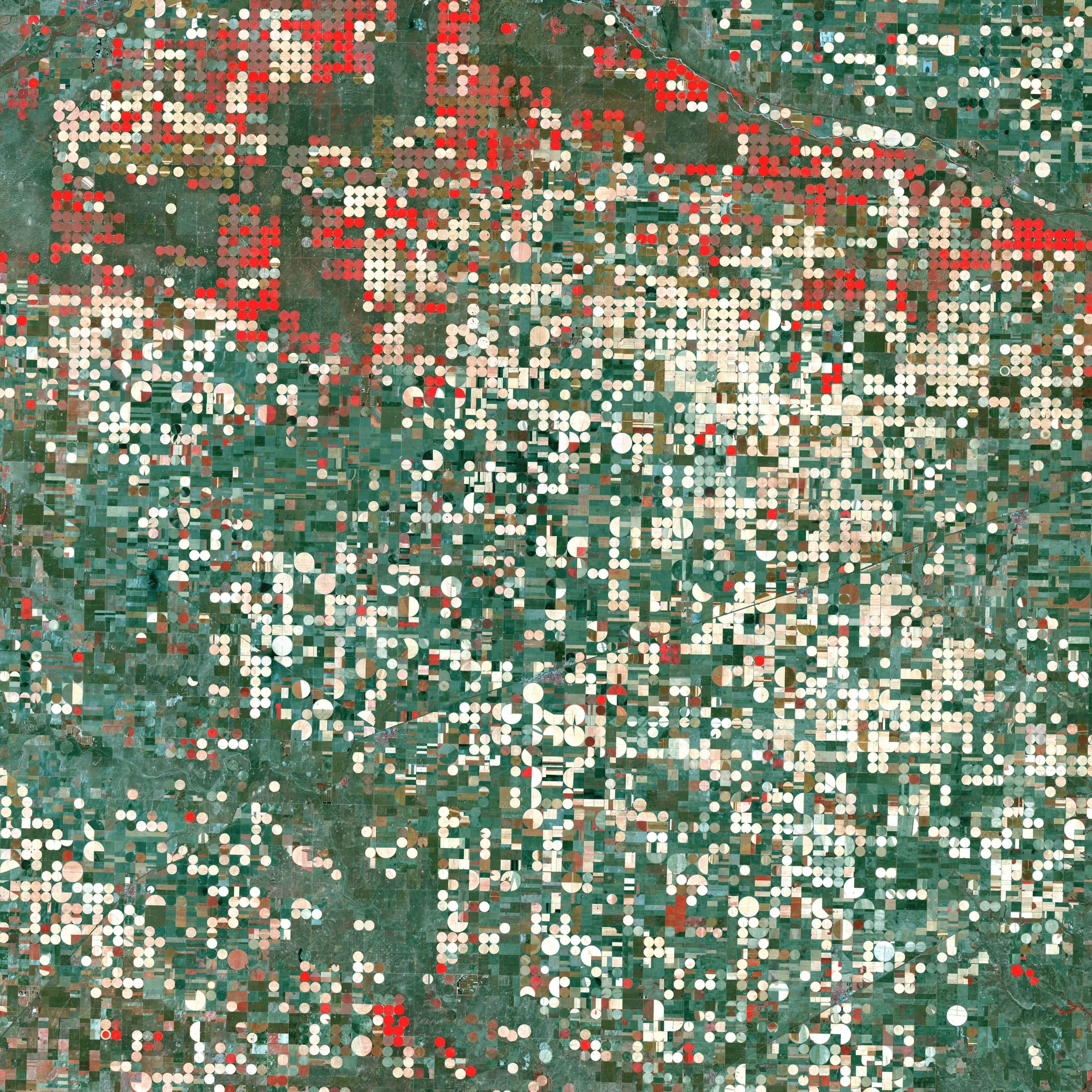
Agriculture Intelligence
Optimize crop performance, forecast yields and promote sustainable farming.
Learn more
ARASAT · Earth Intelligence Platform
ARASAT turns multi-source satellite data, AI models and cloud infrastructure into intelligence that is accurate, timely and actionable.
Earth Intelligence Platform
ARASAT is an Earth intelligence platform that turns satellite data and climate information into answers you can use.
We monitor water, agriculture, land, forests, coasts and oceans, detect change, quantify what matters, and forecast what comes next. All in the cloud. All at scale.
Satellite observations anywhere on Earth.
SAR, optical, thermal and hyperspectral sensors.
Scalable processing and intelligent models.
Encryption, access control and data privacy.
Products
Satellite, AI and cloud products organised by the question they answer, from field-level agriculture to marine pollution, mineral exploration and weather. Every product runs on the same data foundation and account.
Field-level agricultural intelligence
What is on the ground and what changed
Pollution on the water, tracked as it moves
Exploration targets before the ground campaign
Where the water is, how much, and where it is going
Detail beyond the sensor
The state of the atmosphere, days ahead
Decisions on your own data
How it works
ARASAT integrates space, AI and the cloud to turn observations into intelligence, so you can act faster and with confidence.
Multi-sensor satellite data is collected continuously, combining radar, optical, thermal and hyperspectral observations with climate information.
Machine learning, deep learning and computer vision models interpret imagery at scale and track change through time-series analysis.
Cloud-native infrastructure stores and processes the data, runs AI services on demand and delivers results through digital platforms and APIs.
Insights, reports and alerts reach the people who need them through dashboards, WebGIS and integrations with existing systems.
Solutions
Domain-specific solutions built on satellite intelligence, tailored to your challenges and designed for impact.
Optimize crop performance, forecast yields and promote sustainable farming.
Learn more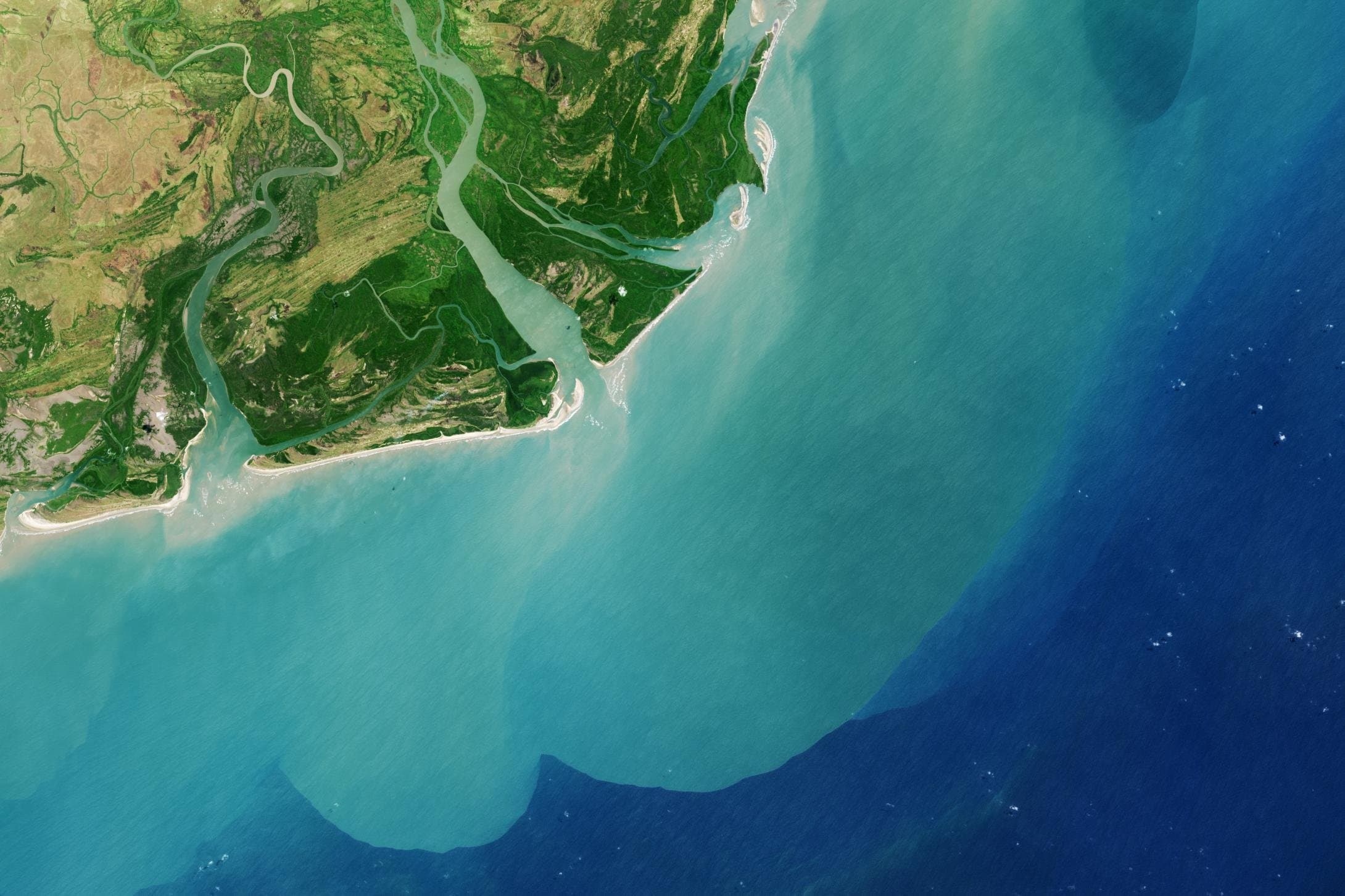
Detect deforestation, monitor land use and support conservation efforts.
Learn more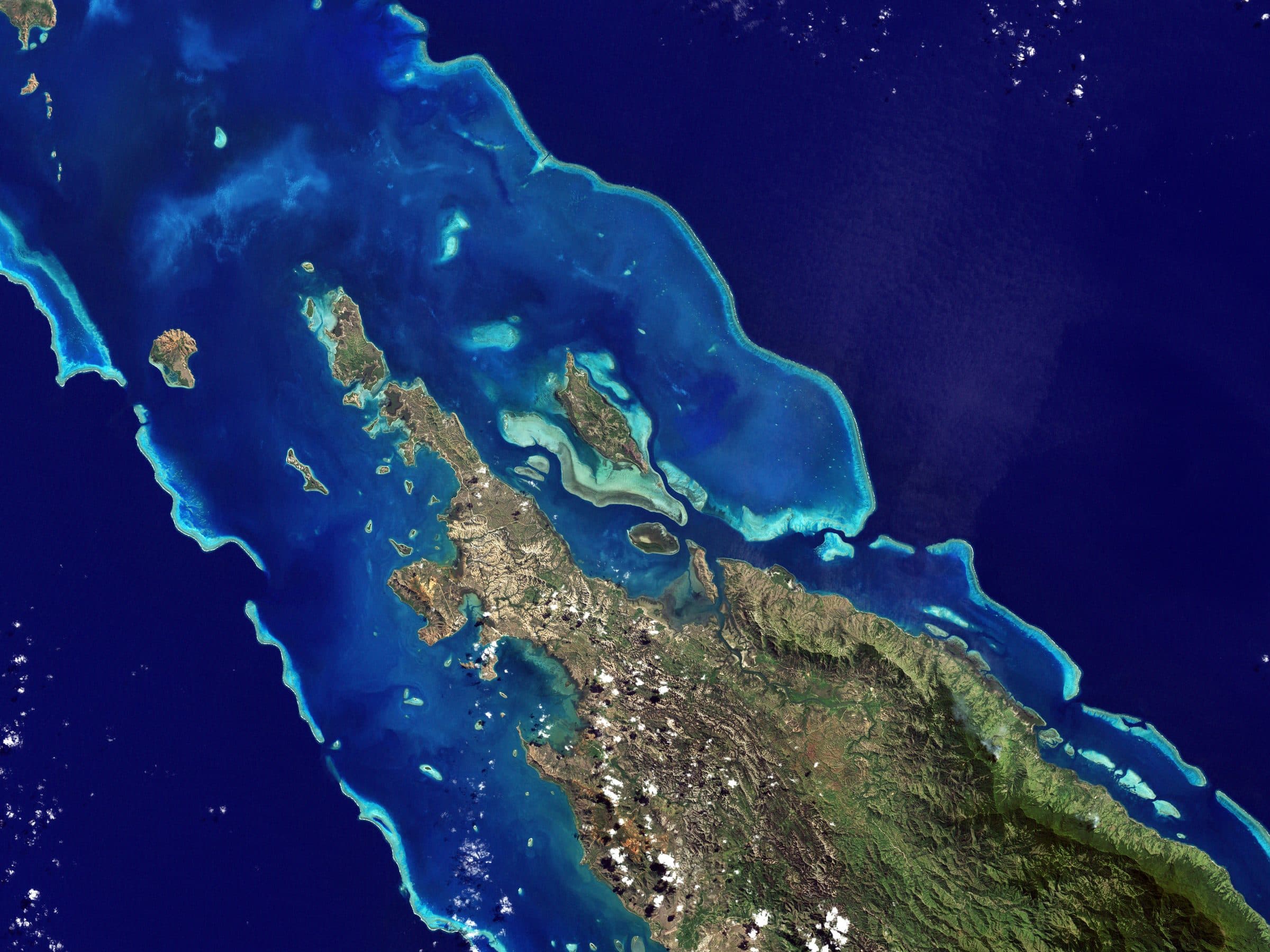
Monitor coastlines, ocean conditions and support a blue economy.
Learn more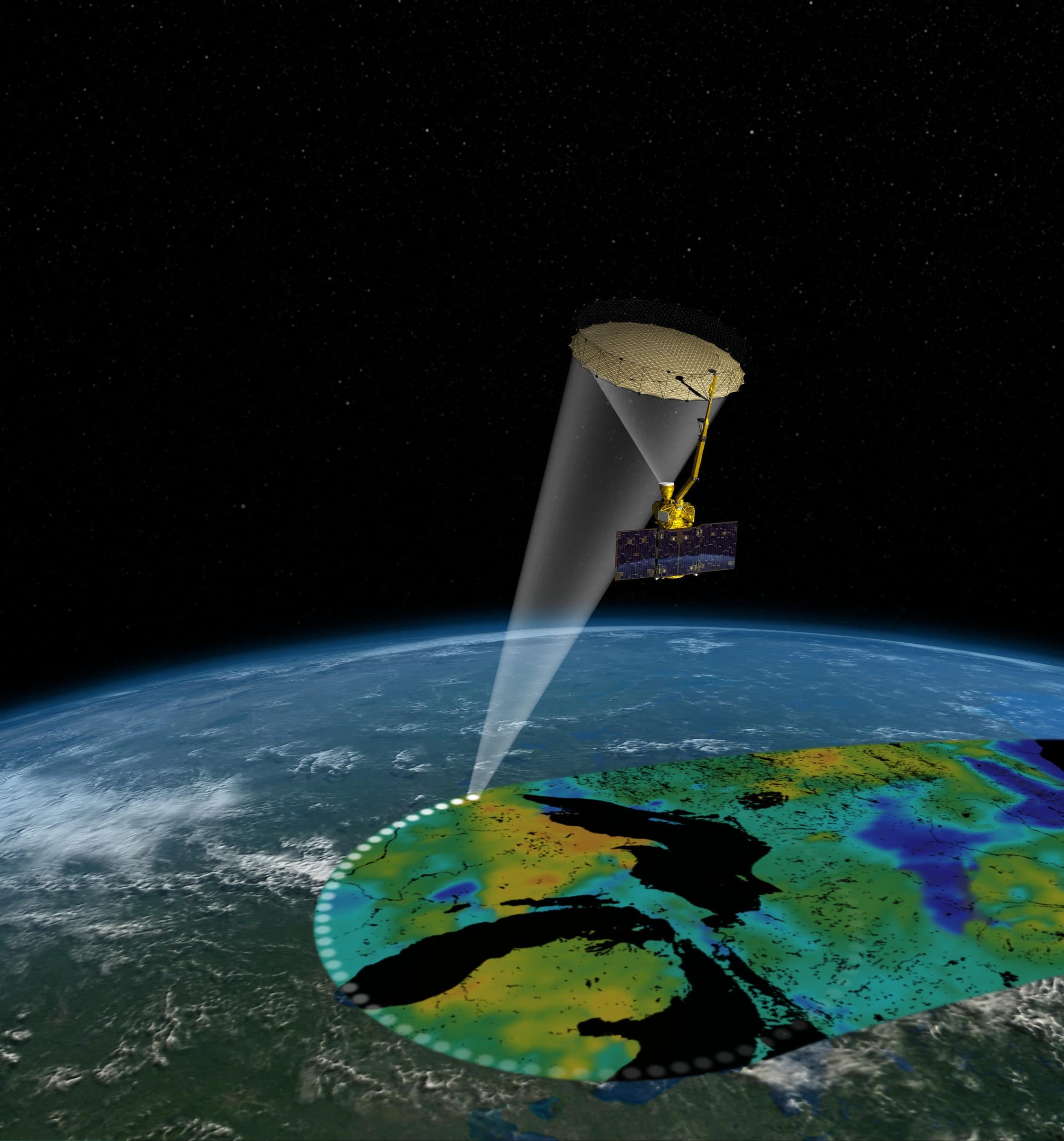
Turn satellite imagery into detection, change analysis and alerts.
Learn more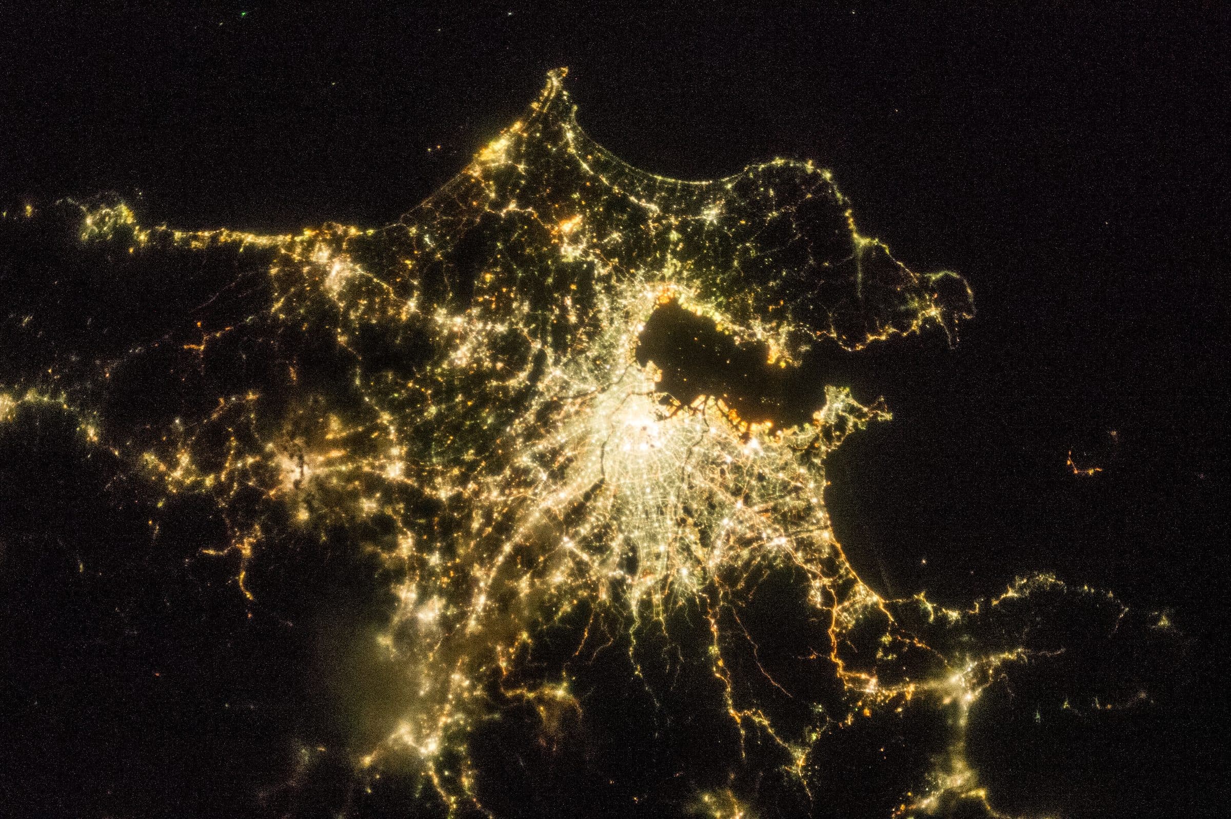
Explore, analyze and act on all your geospatial data in one platform.
Learn moreCore technologies
ARASAT combines satellite systems, intelligent algorithms and scalable infrastructure into one platform.
Satellite observations are used to understand Earth conditions and detect changes over time.
Deep learning and computer vision models turn imagery into predictions and automated interpretation.
Spatial analysis and geographic databases connect observations to places, assets and decisions.
Cloud-native infrastructure provides large-scale processing, data pipelines and scalable deployment.
Data sources
Public missions, commercial constellations, UAV surveys and ground networks are combined in one processing pipeline, so every question is answered with the best available sensor.
All-weather, day-and-night imaging for surface monitoring, change detection and risk assessment.
Multispectral data for visual analysis, mapping and land monitoring.
Temperature and heat information for environmental monitoring, agriculture and urban analysis.
Weather models, precipitation, wind and climate datasets for forecasting and early warning.
Narrow-band spectral measurements for material identification, vegetation stress and water quality.
Ground measurements, IoT sensors and partner data for validation and improved accuracy.
| Mission | Sensor | Operator | Detail |
|---|---|---|---|
| Sentinel-1 | C-band SAR | ESA | 5 × 20 m interferometric wide swath, 6–12 day revisit |
| Sentinel-2 | MSI, 13 bands | ESA | 10–60 m, 5-day revisit |
| Landsat 8 / 9 | OLI / TIRS | NASA / USGS | 30 m multispectral, 15 m panchromatic, 100 m thermal, 8-day combined revisit |
| NISAR | L- and S-band SAR | NASA / ISRO | 240 km swath, 12-day repeat, launched 2025 |
| EnMAP | Imaging spectrometer | DLR | ~230 bands (420–2450 nm), 30 m, 30 km swath |
| EMIT | Imaging spectrometer | NASA (ISS) | 285 bands (380–2500 nm), 60 m; mineral dust and methane |
| SMAP | L-band radiometer | NASA | Soil moisture at 36 km (9 km enhanced), 2–3 day revisit |
| PlanetScope / SkySat | Multispectral | Planet (commercial) | 3 m daily coverage; 50 cm tasked imagery |
Our mission
ARASAT provides organizations and governments with reliable Earth intelligence to address critical challenges, safeguard resources and support a sustainable future.
Monitor water bodies, quality and dynamics.
Optimize yields and resources through data-driven insights.
Detect change and support biodiversity and conservation.
Anticipate hazards and support faster response with accurate information.
The team
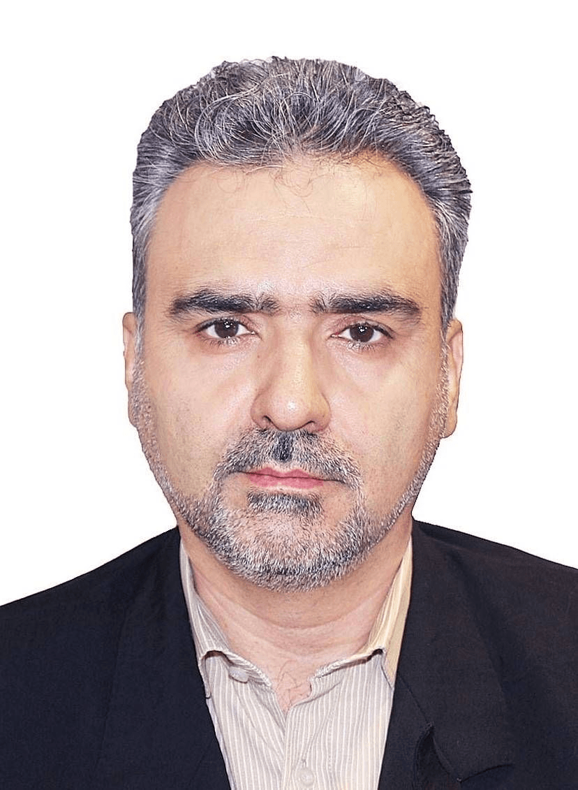
An interdisciplinary team combining Earth science and advanced technology: remote sensing, AI, geospatial engineering and product leadership.
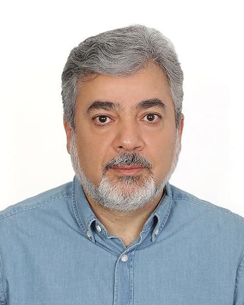
Professor of Photogrammetry and Remote Sensing

Technology Leader · AI Product Strategist · Doctoral Researcher

Senior Executive · Business Development & Global Trade

Full-Stack and Geospatial Developer

Software Product & Engineering Lead

Software Engineer

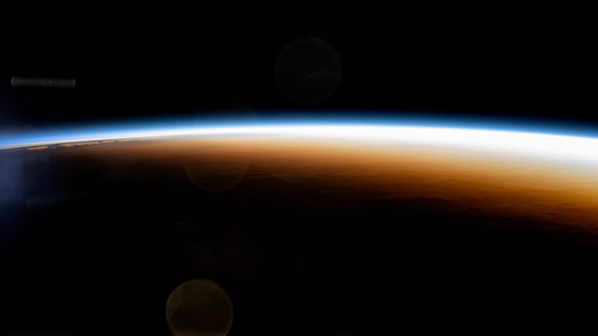
From space. For Earth.
Tell us what you need to monitor, understand or protect. Our team works with you from the first conversation to a running program.