
Remote sensing
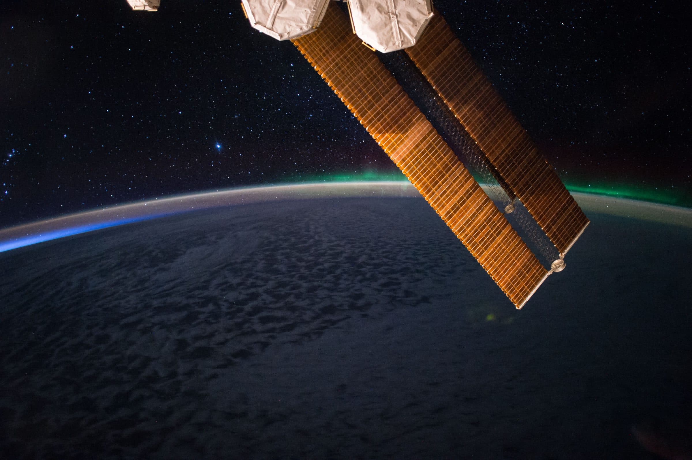
Satellite observations are used to understand Earth conditions and detect changes over time.
- Image processing
- Change detection
- Classification
- Monitoring
Technology
ARASAT combines satellite data processing, AI and cloud infrastructure with deep domain expertise to transform complex data into reliable, actionable intelligence.
Core technologies
Remote sensing, artificial intelligence, geospatial intelligence and cloud platforms work as a single system, from raw observation to delivered insight.
Satellite observations are used to understand Earth conditions and detect changes over time.
Deep learning and computer vision models turn imagery into predictions and automated interpretation.
Spatial analysis and geographic databases connect observations to places, assets and decisions.
Cloud-native infrastructure provides large-scale processing, data pipelines and scalable deployment.
Technology stack
Ingest and process data from multiple satellite sources with state-of-the-art algorithms.
AI/ML models detect patterns, predict events and generate insights.
Scalable cloud infrastructure and big data platforms handle large datasets efficiently.
Geospatial analysis and modelling to understand spatial relationships and trends.
Encryption and access control protect your data.
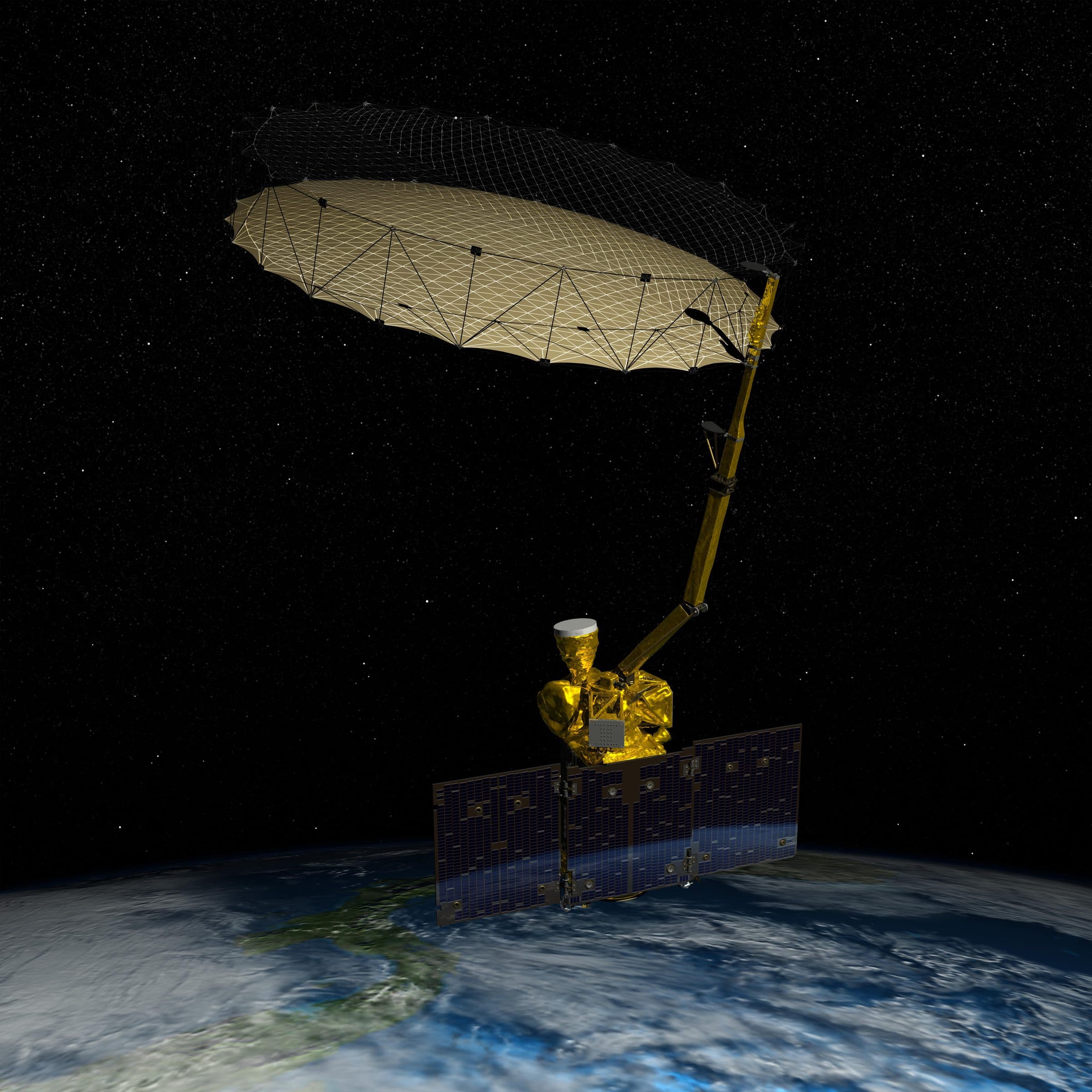
Artist's concept of NASA's SMAP soil-moisture satellite, one of the missions ARASAT works with. Image: NASA/JPL-Caltech.
How it works
ARASAT integrates space, AI and the cloud to turn observations into intelligence, so you can act faster and with confidence.
Multi-sensor satellite data is collected continuously, combining radar, optical, thermal and hyperspectral observations with climate information.
Machine learning, deep learning and computer vision models interpret imagery at scale and track change through time-series analysis.
Cloud-native infrastructure stores and processes the data, runs AI services on demand and delivers results through digital platforms and APIs.
Insights, reports and alerts reach the people who need them through dashboards, WebGIS and integrations with existing systems.
Deployment
ARASAT solutions integrate with your existing systems and scale with your needs, from the cloud to your own infrastructure.
Access ARASAT services through the cloud, with no infrastructure required.
Deploy behind your firewall with full control over data, users and configuration.
Combine cloud flexibility with on-premises control to meet operational needs.
Integrate ARASAT capabilities into your own applications and workflows.

From space. For Earth.
Tell us what you need to monitor, understand or protect. Our team works with you from the first conversation to a running program.