
Products · Mining and geology
Hyperspectral Mineral Mapping and Target Ranking
Alteration mineralogy from orbit, ranked into exploration targets.
Delivered as an exploration engagement per licence area
Overview
Where in this licence area should the ground campaign and the first drill holes go?
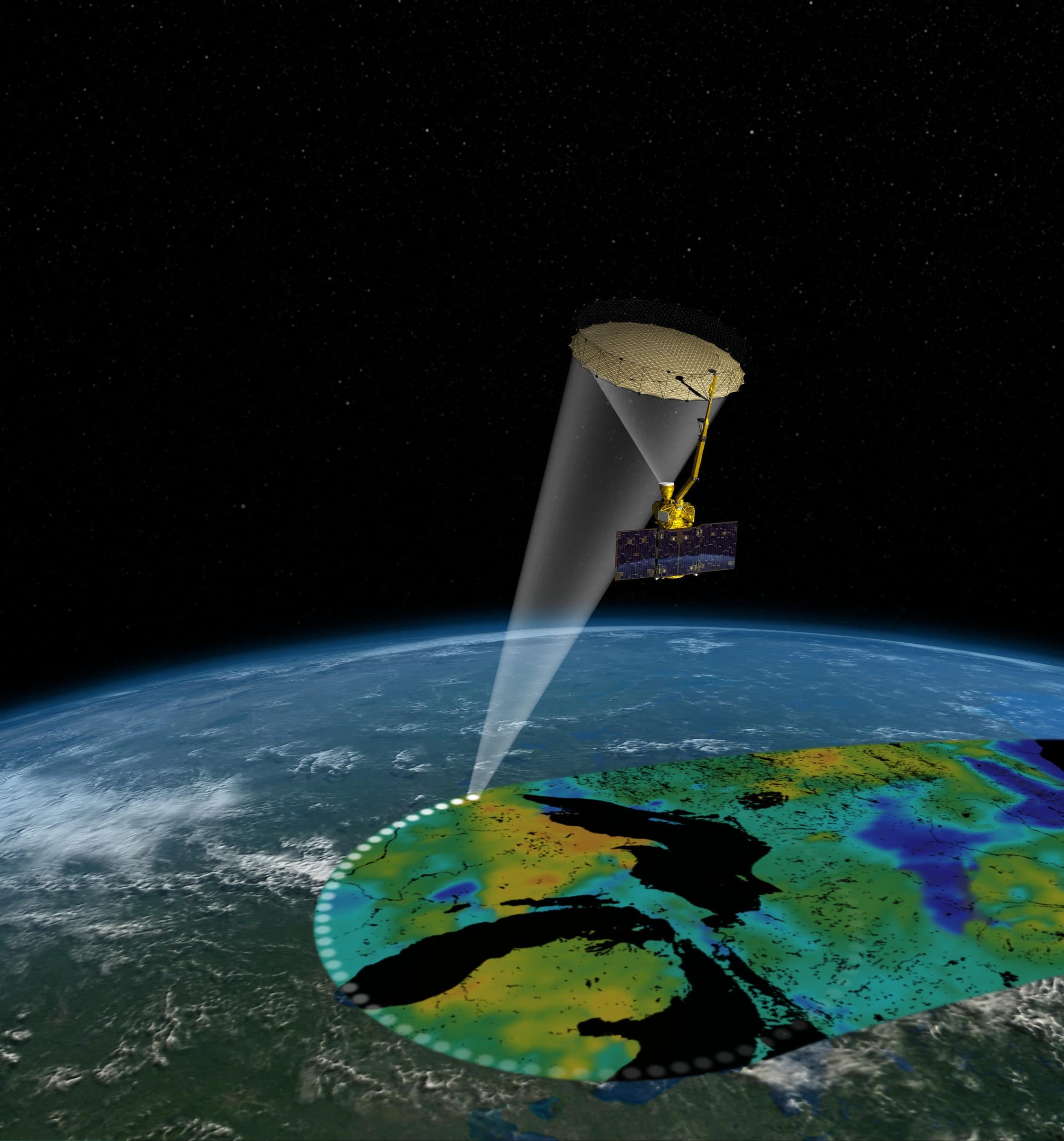
Hyperspectral sensors record a hundred or more contiguous spectral bands, enough to identify materials by their spectral signature rather than their appearance. The product maps alteration mineralogy associated with mineral systems, including the alteration assemblages that surround porphyry copper and related deposits, extracts structural lineaments, and combines spectral, structural and geological evidence into a ranked list of targets to guide the ground campaign and drilling programme.
- Hyperspectral and multispectral
- Sensors
- Alteration mineralogy and lineaments
- Mapping
- Evidence-based target list
- Ranking
- Per licence area
- Delivery
System architecture
Schematic of the main components, from inputs to delivered outputs.
Inputs
- Hyperspectral imagery (EnMAP, EMIT, PRISMA)
- Multispectral imagery (Sentinel-2, ASTER-class)
- Spectral libraries and field spectra
- Geology, DEM and known occurrences
Spectral analysis
- Atmospheric and radiometric correction
- Mineral indices and spectral matching
- Alteration assemblage mapping
Structural and evidence layers
- Lineament extraction
- Evidence weighting
- Target ranking
Outputs
- Mineral maps
- Ranked target list
- Drilling-programme recommendations
- GIS layers and report
How it works
Pipeline and maturity of each stage
- 01
Data preparation
Hyperspectral and multispectral scenes are corrected for atmosphere and terrain, co-registered and quality-checked against field or library spectra.
- 02
Alteration mineral mapping
Spectral matching and mineral indices map hydrothermal alteration assemblages and iron oxides, the surface expression of mineralising systems.
- 03
Structure and evidence
Lineaments and structural corridors are extracted from imagery and terrain; alteration, structure, geology and known occurrences become weighted evidence layers.
- 04
Target ranking and recommendation
Evidence layers are combined into a ranked target list with recommended sequence for ground verification and drilling.
Data used
- EnMAP, EMIT and PRISMA hyperspectral
- Sentinel-2 and ASTER-class multispectral
- Spectral libraries and field spectra
- Geological maps, DEM and known occurrences
Methods and models
- Spectral matching and mineral indices
- Alteration assemblage mapping
- Lineament extraction
- Multi-evidence target ranking
Outputs
- Alteration mineral maps (GeoTIFF)
- Lineament layers (vector)
- Ranked exploration targets with rationale
- Drilling-programme recommendation and report
Who it is for
- Exploration and mining companies
- Geological surveys
- Investors evaluating licence areas
More in Mining and geology
All mining and geology products- Exploration target rankingEngagement
- Mine subsidence and stabilityEngagement
- Environmental complianceEngagement

From space. For Earth.
Start with ARASAT
Tell us what you need to monitor, understand or protect. Our team works with you from the first conversation to a running program.