
Products · Agriculture
Rainfed / Irrigated Classification
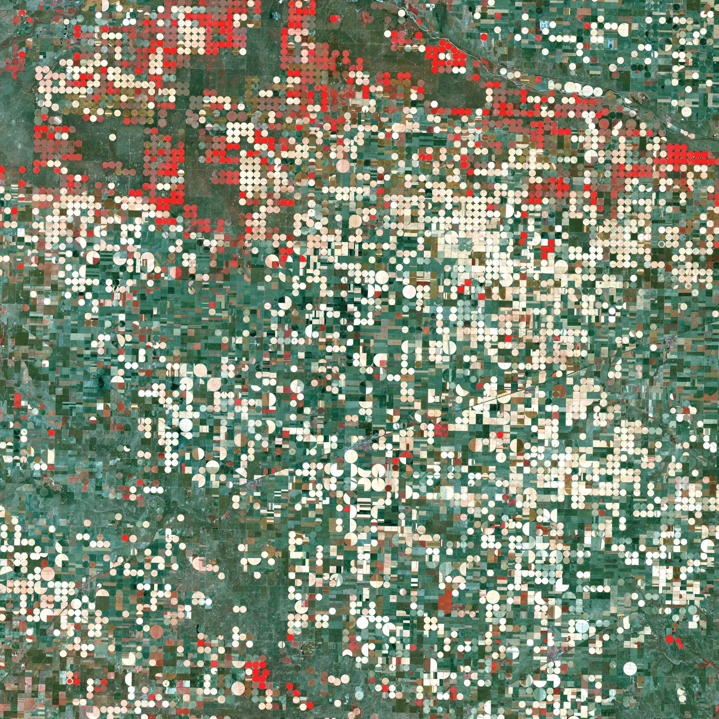
Which fields are watered, and which depend on the rain.
Processing service delivered per area of interest
Overview
Which cultivated fields are irrigated, and from which season onward?
Joint analysis of surface-moisture patterns from radar and greenness patterns from multispectral imagery, with climate covariates, flags the fields that are actively irrigated in the dry season. It is the basis of any water-allocation or groundwater-abstraction assessment, and it prevents the over-estimation of agricultural water use that comes from counting every cultivated hectare as irrigated.
- Radar moisture + optical greenness
- Signal
- The field, per season
- Unit
- Vision transformers on fused time series
- Models
- Water allocation and abstraction
- Use
Example outputs
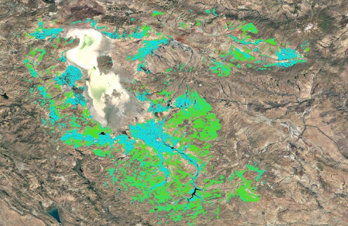
Rainfed (green) versus irrigated (cyan) parcels classified from combined radar and multispectral time series.
How it works
Pipeline and maturity of each stage
- 01
Fused time series
OperationalRadar backscatter and optical indices are stacked per field across the season together with precipitation and temperature covariates.
- 02
Irrigation signature
OperationalA field that shows surface moisture and active growth through the dry period carries the irrigation signature; the model learns it from field-verified labels.
- 03
Classification and delivery
OperationalEach field receives a rainfed or irrigated class with confidence, aggregated to irrigated area by unit and delivered with a report.
Data used
- Sentinel-1 SAR
- Sentinel-2
- Precipitation and temperature data
- Field boundaries
- Field-verified labels
Methods and models
- SAR and optical fusion
- Vision-transformer time-series models
- Climate covariates
Outputs
- Rainfed / irrigated map (GeoTIFF and vector)
- Irrigated area statistics by unit
- PDF report
Who it is for
- Water authorities and basin agencies
- Groundwater abstraction assessment
- Irrigation scheme audits
- Agricultural water accounting
More in Agriculture
All agriculture products- Crop type classification
- Field boundary extraction
- Agricultural water accounting
- Cultivated-area mappingProcessing service
- Crop condition and stressProcessing service
- Irrigation water demandIn development

From space. For Earth.
Start with ARASAT
Tell us what you need to monitor, understand or protect. Our team works with you from the first conversation to a running program.