
Products · Agriculture
Agricultural Water Accounting
The integrated solution: from parcel map to water balance sheet.
Integrated solution; parcel-mapping modules operational, water-volume and accounting layers in development
Overview
What was grown on each parcel, how much water did it use, and was that water worth it?
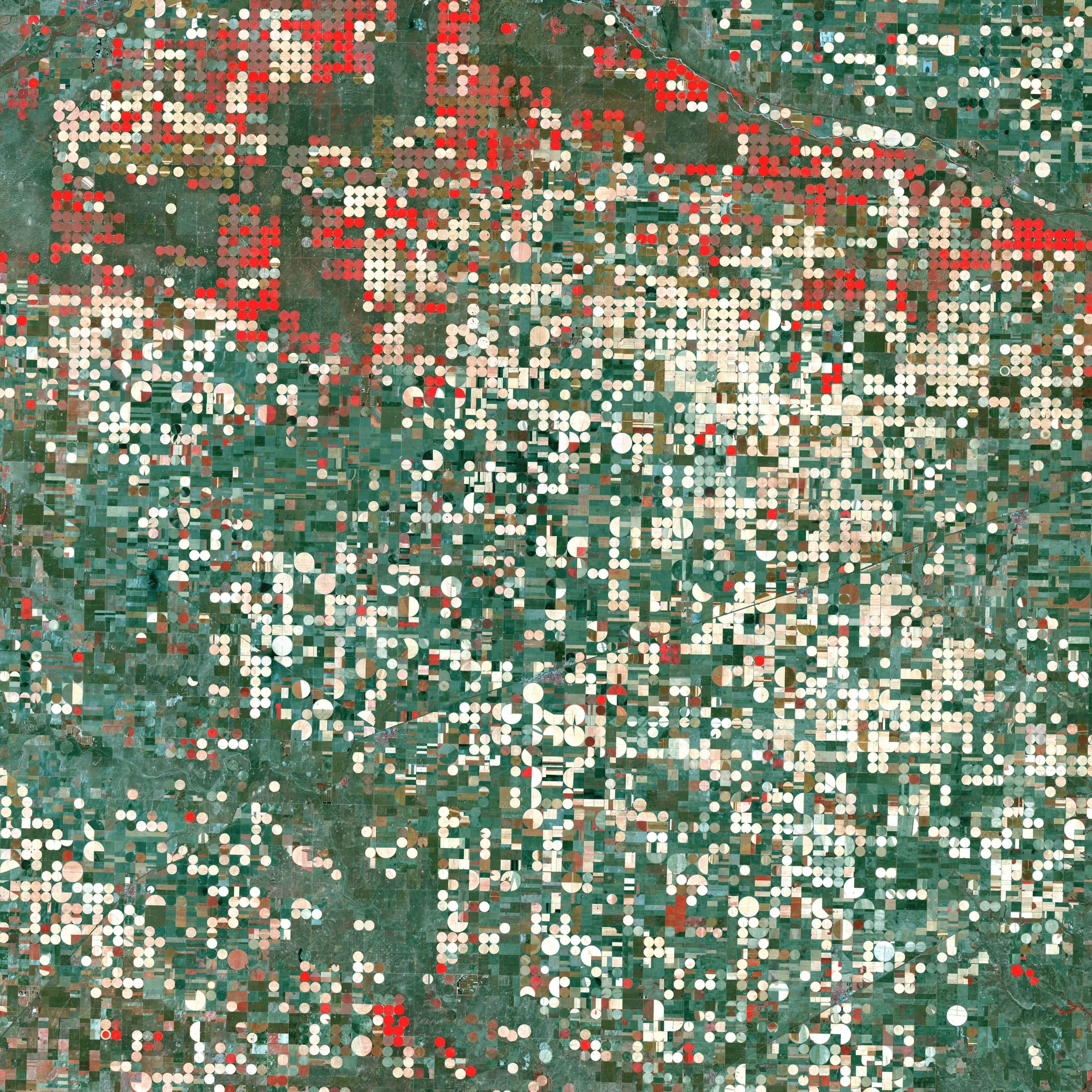
An integrated solution that chains the agriculture products into one answer for every parcel and season: what was grown, how much water it consumed, where that water came from, what it cost and what value it produced. Field boundaries, land cover, crop type and irrigation class build the parcel base map; a water computation engine turns crop, climate and thermal data into cubic metres per parcel; a financial layer turns volumes into cost, value and a water balance.
- The parcel, per season
- Unit of account
- 4 agriculture products + super-resolution
- Built from
- FAO-56 and energy-balance ET
- Water engine
- Farm to basin to national
- Scale
System architecture
Schematic of the main components, from inputs to delivered outputs.
Inputs
- Multispectral and SAR imagery
- Thermal imagery
- Weather and climate data
- Soil maps
- Field surveys and labels
Parcel base map
- Field boundary extraction
- Land use and land cover
- Crop type classification
- Rainfed / irrigated
- Super-resolution
Water engine
- Reference and crop evapotranspiration
- Actual ET from thermal imagery
- Effective rainfall
- Water source and cost model
Outputs
- Water volume per parcel
- Cost, value and profit or loss
- Water balance and dashboard
- Crop-pattern recommender
Example outputs
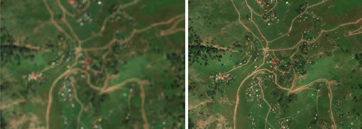
Super-resolution makes small parcels resolvable before boundary extraction: native (left) and enhanced (right).
How it works
Pipeline and maturity of each stage
- 01
Training-data tools
OperationalA geo-referenced field survey app and an image labelling environment produce labels for boundaries, land-cover classes and crop types, so the solution can be trained for any new region.
- 02
Parcel base map
Developed and evaluatedField boundary extraction, near-real-time land use and land cover, crop type classification and rainfed/irrigated classification, with super-resolution for small-parcel regions, produce every parcel's boundary, class, crop and irrigation type per season.
- 03
Water computation engine
In developmentFAO-56 Penman-Monteith reference evapotranspiration, crop coefficients per growth stage calibrated to the local climate, actual evapotranspiration from thermal imagery with surface energy balance models (METRIC / SEBAL), and effective rainfall give net irrigation requirement per parcel per season.
- 04
Accounting and decision layer
In developmentVolumes are joined with water-source and cost data to compute cost, value and profit or loss, aggregated from parcel to district, basin and national level in a seasonal water balance, a dashboard and a crop-pattern recommender.
Data used
- Outputs of the agriculture products
- Landsat and Sentinel thermal
- Weather station and gridded climate data
- Soil maps
- Water-source and tariff data
Methods and models
- FAO-56 Penman-Monteith
- METRIC / SEBAL energy balance
- Crop coefficients per growth stage
- Spatial join of volume and cost layers
Outputs
- Water volume in cubic metres per parcel per season
- Cost, value and profit or loss of water used
- Seasonal water balance at basin and national level
- Dashboard and crop-pattern recommender
Who it is for
- Water-resource management and over-abstraction detection
- Economic valuation and pricing of agricultural water
- Crop-pattern policy and planning
More in Agriculture
All agriculture products- Crop type classification
- Field boundary extraction
- Rainfed / irrigated classification
- Cultivated-area mappingProcessing service
- Crop condition and stressProcessing service
- Irrigation water demandIn development

From space. For Earth.
Start with ARASAT
Tell us what you need to monitor, understand or protect. Our team works with you from the first conversation to a running program.